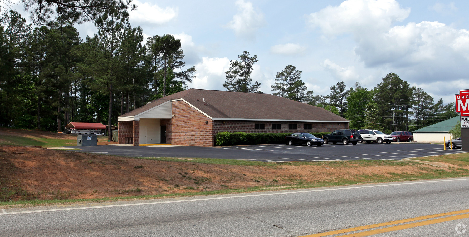
Property Record
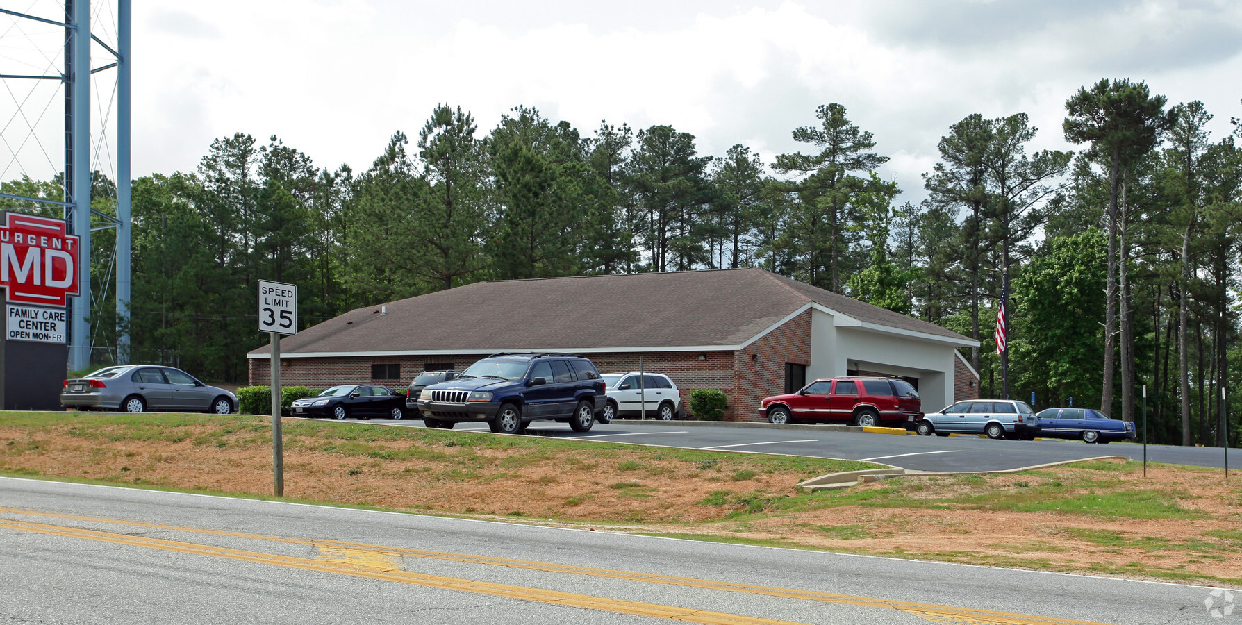
101 Fornum Dr, Grovetown, GA 30813
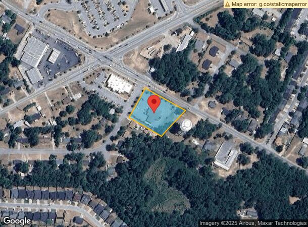
NEARBY LISTINGS FOR SALE OR LEASE
Property Detail
101 Fornum Dr
G05-019A
Post Office
Financialbuilding
TRACT B 1.276 ACS; POST OFFICE
X
Columbia
13073C0230E
Georgia
2024
1.28 AC
2024
Outlying Columbia County
030507
Augusta/Richmond County
4,812 SF
Augusta-Richmond County, GA-SC
DEMOGRAPHICS near 101 Fornum Dr
1 Mile
3 Mile
5 Mile
2024 Total Population
8,934
32,240
71,446
2029 Population
10,096
36,203
79,296
Pop Growth 2024-2029
+ 13.01%
+ 12.29%
+ 10.99%
Average Age
34
34
36
2024 Total Households
3,184
11,041
24,396
HH Growth 2024-2029
+ 12.41%
+ 11.67%
+ 10.40%
Median Household Inc
$67,174
$73,127
$75,653
Avg Household Size
2.80
2.90
2.80
2024 Avg HH Vehicles
2.00
2.00
2.00
Median Home Value
$213,001
$235,175
$234,548
Median Year Built
2004
2007
2005
Nearby Places
- Restaurants
- Banks
- Shops
- Fitness
- Groceries
PUBLIC TRANSPORTATION
AIRPORT
Augusta Regional at Bush Field
DRIVE
WALK
Distance
Augusta Regional at Bush Field
29 min
17.7 mi
Freight Ports
Georgia Ports - Savannah
DRIVE
WALK
Distance
Georgia Ports - Savannah
163 min
126.8 mi
SALE & LEASE HISTORY
LISTING DATE
SALE/LEASE

Mar 11, 2019
For Sale
Nearby Properties
Address
Land Use
TOTAL SIZE
Lot Size
Zoning
Address
Land Use
TOTAL SIZE
Lot Size
Zoning
10.82 AC
Address
Land Use
TOTAL SIZE
Lot Size
Zoning
26,790 SF
40.46 AC
Address
Land Use
TOTAL SIZE
Lot Size
Zoning
2,627 SF
23.57 AC
Address
Land Use
TOTAL SIZE
Lot Size
Zoning
118,470 SF
54 AC
Address
Land Use
TOTAL SIZE
Lot Size
Zoning
705 SF
14.23 AC
R-2;GENERA
Address
Land Use
TOTAL SIZE
Lot Size
Zoning
Address
Land Use
TOTAL SIZE
Lot Size
Zoning
520,414 SF
40.73 AC
Address
Land Use
TOTAL SIZE
Lot Size
Zoning
191,892 SF
184.39 AC
Address
Land Use
TOTAL SIZE
Lot Size
Zoning
1,120 SF
9.69 AC
Address
Land Use
TOTAL SIZE
Lot Size
Zoning
792 SF
213.93 AC
R-1;LOW DE
Address
Land Use
TOTAL SIZE
Lot Size
Zoning
Address
Land Use
TOTAL SIZE
Lot Size
Zoning
640 SF
93.62 AC
Address
Land Use
TOTAL SIZE
Lot Size
Zoning
176 SF
18.65 AC
Address
Land Use
TOTAL SIZE
Lot Size
Zoning
Address
Land Use
TOTAL SIZE
Lot Size
Zoning
Address
Land Use
TOTAL SIZE
Lot Size
Zoning
154,011 SF
18.45 AC
C-2;GEN CO
Address
Land Use
TOTAL SIZE
Lot Size
Zoning
3,936 SF
7.07 AC
Address
Land Use
TOTAL SIZE
Lot Size
Zoning
Address
Land Use
TOTAL SIZE
Lot Size
Zoning
21,144 SF
5.35 AC
R-3;HI DEN
Address
Land Use
TOTAL SIZE
Lot Size
Zoning
85,234 SF
5.69 AC
R-3;HI DEN
Address
Land Use
TOTAL SIZE
Lot Size
Zoning
Address
Land Use
TOTAL SIZE
Lot Size
Zoning
34,440 SF
10.75 AC
Address
Land Use
TOTAL SIZE
Lot Size
Zoning
6,405 SF
18.70 AC
Address
Land Use
TOTAL SIZE
Lot Size
Zoning
30,000 SF
10.29 AC
Address
Land Use
TOTAL SIZE
Lot Size
Zoning
4,020 SF
12.63 AC
PUD
Address
Land Use
TOTAL SIZE
Lot Size
Zoning
40,816 SF
1.81 AC
Address
Land Use
TOTAL SIZE
Lot Size
Zoning
348 SF
2.59 AC
Address
Land Use
TOTAL SIZE
Lot Size
Zoning
64,236 SF
7.24 AC
Address
Land Use
TOTAL SIZE
Lot Size
Zoning
2,760 SF
3.74 AC
Address
Land Use
TOTAL SIZE
Lot Size
Zoning
128,000 SF
15.20 AC
PUD
The World's #1 Commercial Real Estate Marketplace
Connect with us
© 2025 CoStar Group
The information above has been obtained from sources believed reliable. While we do not doubt its accuracy we have not verified it and make no guarantee, warranty or representation about it. It is your responsibility to independently confirm its accuracy and completeness. Any projections, opinions, assumptions, or estimates used are for example only and do not represent the current or future performance of the property. The value of this transaction to you depends on tax and other factors which should be evaluated by your tax, financial, and legal advisors. You and your advisors should conduct a careful, independent investigation of the property to determine to your satisfaction the suitability of the property for your needs.